
Fountain of the Great Lakes topographic map
Interactive map
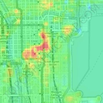
Click on the map to display elevation.
About this map
Name: Fountain of the Great Lakes topographic map, elevation, terrain.
Average elevation: 183 m
Minimum elevation: 162 m
Maximum elevation: 223 m
Other topographic maps
Click on a map to view its topography, its elevation and its terrain.
Near North Side
United States > Illinois > Chicago
Near North Side, Chicago, Cook County, Illinois, United States
Average elevation: 182 m
Kilbourn Park
United States > Illinois > Chicago
Kilbourn Park, Irving Park, Chicago, Jefferson Township, Cook County, Illinois, 60641, United States
Average elevation: 186 m