
Roatán topographic map
Interactive map
Click on the map to display elevation.
About this map
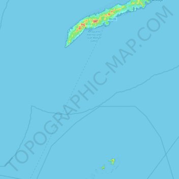
Name: Roatán topographic map, elevation, terrain.
Location: Roatán, Bay Islands, 33166, Honduras (16.26676 -86.60303 16.38814 -86.41857)
Average elevation: 7 m
Minimum elevation: -1 m
Maximum elevation: 217 m