
Unterwang topographic map
Interactive map
Click on the map to display elevation.
About this map
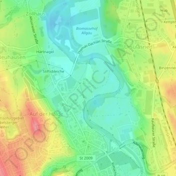
Name: Unterwang topographic map, elevation, terrain.
Location: Unterwang, Zollhaus, Kempten (Allgäu), Bayern, Deutschland (47.74526 10.30660 47.74865 10.30982)
Average elevation: 680 m
Minimum elevation: 646 m
Maximum elevation: 731 m