
Goshen topographic map
Interactive map
Click on the map to display elevation.
About this map
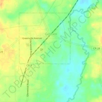
Name: Goshen topographic map, elevation, terrain.
Location: Goshen, Pike County, Alabama, United States (31.70350 -86.13477 31.73258 -86.11320)
Average elevation: 97 m
Minimum elevation: 79 m
Maximum elevation: 114 m