
Willoughby topographic map
Interactive map
Click on the map to display elevation.
About this map
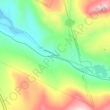
Name: Willoughby topographic map, elevation, terrain.
Location: Willoughby, Barton, Orleans County, Vermont, United States (44.68378 -72.12851 44.72378 -72.08851)
Average elevation: 466 m
Minimum elevation: 281 m
Maximum elevation: 716 m