
Aizenay topographic map
Interactive map
Click on the map to display elevation.
About this map
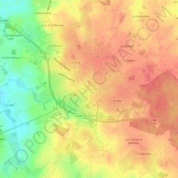
Name: Aizenay topographic map, elevation, terrain.
Average elevation: 57 m
Minimum elevation: 21 m
Maximum elevation: 77 m
Le territoire municipal d’Aizenay s’étend sur 8 199 hectares. L’altitude moyenne de la commune est de 47 mètres, avec des niveaux fluctuant entre 10 et 76 mètres,.