
Coldwater topographic map
Interactive map
Click on the map to display elevation.
About this map
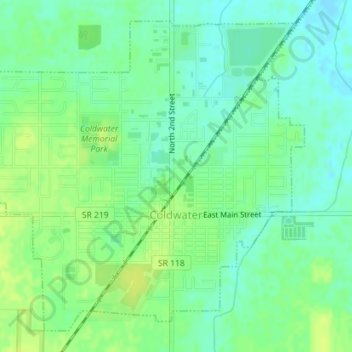
Name: Coldwater topographic map, elevation, terrain.
Location: Coldwater, Mercer County, Ohio, 45828, United States (40.47085 -84.64777 40.49462 -84.61634)
Average elevation: 276 m
Minimum elevation: 268 m
Maximum elevation: 283 m