
Цехановка topographic map
Interactive map
Click on the map to display elevation.
About this map
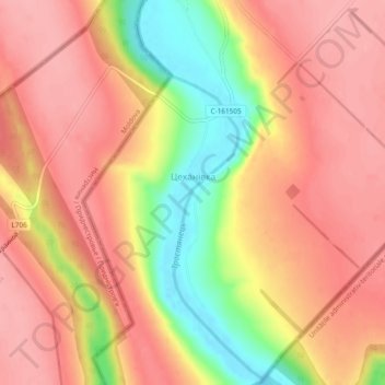
Name: Цехановка topographic map, elevation, terrain.
Location: Цехановка, Подольский район, Одесская область, 67922, Украина (47.43378 29.19102 47.46580 29.20504)
Average elevation: 108 m
Minimum elevation: 36 m
Maximum elevation: 145 m