
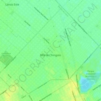
Monte Chingolo topographic map
Interactive map
Click on the map to display elevation.
About this map
Name: Monte Chingolo topographic map, elevation, terrain.
Location: Monte Chingolo, Partido de Lanús, Buenos Aires, Argentina (-34.74552 -58.38091 -34.71203 -58.33350)
Average elevation: 10 m
Minimum elevation: 0 m
Maximum elevation: 19 m
Other topographic maps
Click on a map to view its topography, its elevation and its terrain.
Monte Chingolo
Argentina > Buenos Aires > Monte Chingolo
Monte Chingolo, Partido de Lanús, Buenos Aires, 1886, Argentina
Average elevation: 9 m