
Farciennes topographic map
Interactive map
Click on the map to display elevation.
About this map
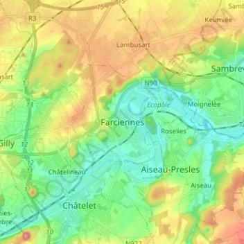
Name: Farciennes topographic map, elevation, terrain.
Location: Farciennes, Charleroi, Hainaut, Wallonie, 6240, Belgique (50.39184 4.50652 50.47184 4.58652)
Average elevation: 139 m
Minimum elevation: 85 m
Maximum elevation: 233 m