
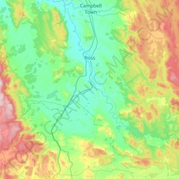
Ross topographic map
Interactive map
Click on the map to display elevation.
About this map
Name: Ross topographic map, elevation, terrain.
Location: Ross, Northern Midlands, Tasmania, 7209, Australia (-42.24849 147.23343 -41.94315 147.73106)
Average elevation: 372 m
Minimum elevation: 163 m
Maximum elevation: 951 m