
Puranpur topographic map
Interactive map
Click on the map to display elevation.
About this map
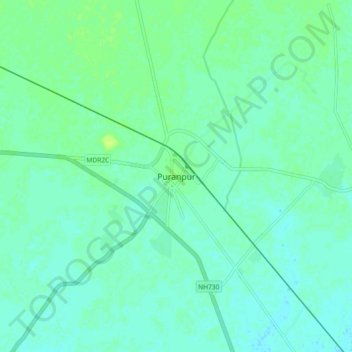
Name: Puranpur topographic map, elevation, terrain.
Location: Puranpur, Pilibhit, Uttar Pradesh, 262122, India (28.47289 80.10748 28.55289 80.18748)
Average elevation: 182 m
Minimum elevation: 177 m
Maximum elevation: 190 m