
Five Forks topographic map
Interactive map
Click on the map to display elevation.
About this map
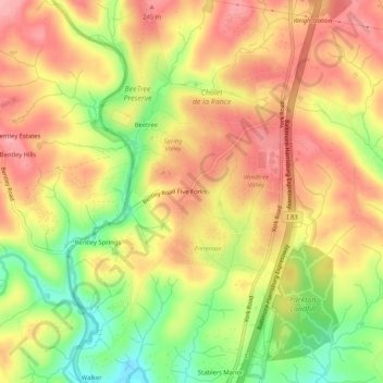
Name: Five Forks topographic map, elevation, terrain.
Location: Five Forks, Baltimore County, Maryland, 21105, United States (39.65899 -76.67803 39.69899 -76.63803)
Average elevation: 201 m
Minimum elevation: 133 m
Maximum elevation: 249 m