
Comunidad Aborigen Fortín Mbororé topographic map
Interactive map
Click on the map to display elevation.
About this map
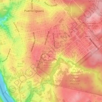
Name: Comunidad Aborigen Fortín Mbororé topographic map, elevation, terrain.
Average elevation: 191 m
Minimum elevation: 96 m
Maximum elevation: 232 m