
Hub topographic map
Interactive map
Click on the map to display elevation.
About this map
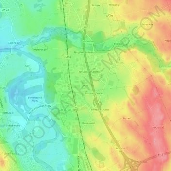
Name: Hub topographic map, elevation, terrain.
Location: Hub, Leubas, Kempten (Allgäu), Bayern, 87493, Deutschland (47.73887 10.30570 47.77887 10.34570)
Average elevation: 696 m
Minimum elevation: 646 m
Maximum elevation: 760 m