
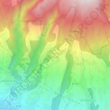
Lambert les Hauts topographic map
Interactive map
Click on the map to display elevation.
About this map
Name: Lambert les Hauts topographic map, elevation, terrain.
Location: Lambert les Hauts, Saint-Pierre, La Réunion, 97427, France (-21.25686 55.35776 -21.21686 55.39776)
Average elevation: 505 m
Minimum elevation: 58 m
Maximum elevation: 1,054 m