
La Fontenelle topographic map
Interactive map
Click on the map to display elevation.
About this map
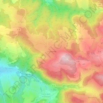
Name: La Fontenelle topographic map, elevation, terrain.
Average elevation: 506 m
Minimum elevation: 352 m
Maximum elevation: 629 m
Other topographic maps
Click on a map to view its topography, its elevation and its terrain.
Launois
France > Grand Est > Vosges > Ban-de-Sapt
Launois, Ban-de-Sapt, Saint-Dié-des-Vosges, Vosges, Grand Est, France métropolitaine, 88210, France
Average elevation: 565 m