
Khadki topographic map
Interactive map
Click on the map to display elevation.
About this map
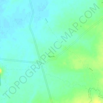
Name: Khadki topographic map, elevation, terrain.
Location: Khadki, Mohadi Taluka, Bhandara District, Maharashtra, India (21.21907 79.76803 21.23967 79.79677)
Average elevation: 260 m
Minimum elevation: 251 m
Maximum elevation: 274 m