
Izghad topographic map
Interactive map
Click on the map to display elevation.
About this map
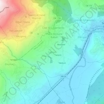
Name: Izghad topographic map, elevation, terrain.
Location: Izghad, Leflaye, Daïra Sidi-Aïch, Béjaïa, 06043, Algérie (36.58162 4.64484 36.62162 4.68484)
Average elevation: 319 m
Minimum elevation: 85 m
Maximum elevation: 1,050 m