
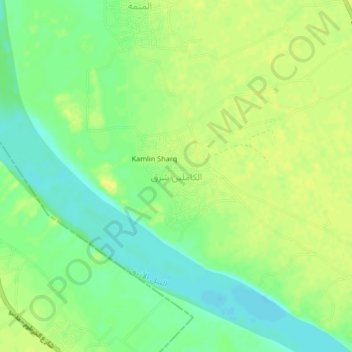
Alkamlin East topographic map
Interactive map
Click on the map to display elevation.
About this map
Name: Alkamlin East topographic map, elevation, terrain.
Location: Alkamlin East, Gezira State, Sudan (15.01878 33.19038 15.05878 33.23038)
Average elevation: 394 m
Minimum elevation: 382 m
Maximum elevation: 402 m