
Mendahara Ulu topographic map
Interactive map
Click on the map to display elevation.
About this map
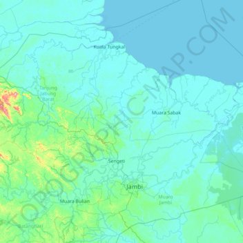
Name: Mendahara Ulu topographic map, elevation, terrain.
Location: Mendahara Ulu, Jambi, Indonesia (-1.95935 102.83473 -0.55935 104.23473)
Average elevation: 18 m
Minimum elevation: -2 m
Maximum elevation: 370 m