
Raogi topographic map
Interactive map
Click on the map to display elevation.
About this map
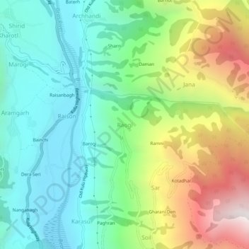
Name: Raogi topographic map, elevation, terrain.
Location: Raogi, Kullu, Himachal Pradesh, 175128, India (32.03183 77.12452 32.07183 77.16452)
Average elevation: 1,843 m
Minimum elevation: 1,307 m
Maximum elevation: 2,938 m