
Isla Mocolí topographic map
Interactive map
Click on the map to display elevation.
About this map
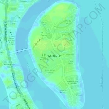
Name: Isla Mocolí topographic map, elevation, terrain.
Location: Isla Mocolí, El Buijo, Samborondón, Guayas, Ecuador (-2.11756 -79.86846 -2.09040 -79.85421)
Average elevation: 4 m
Minimum elevation: -6 m
Maximum elevation: 13 m
Other topographic maps
Click on a map to view its topography, its elevation and its terrain.
Río Babahoyo
Ecuador > Guayas > Samborondón > El Buijo > San Nicolás
Río Babahoyo, San Nicolás, El Buijo, Samborondón, Guayas, 092302, Ecuador
Average elevation: 3 m