
Atengo topographic map
Interactive map
Click on the map to display elevation.
About this map
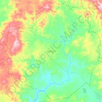
Name: Atengo topographic map, elevation, terrain.
Location: Atengo, Jalisco, Mexico (20.20426 -104.41018 20.43642 -104.15639)
Average elevation: 1,685 m
Minimum elevation: 1,373 m
Maximum elevation: 2,358 m