
Tamalout topographic map
Interactive map
Click on the map to display elevation.
About this map
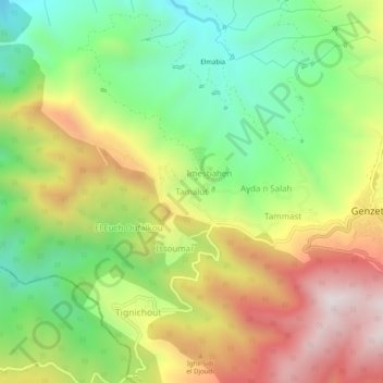
Name: Tamalout topographic map, elevation, terrain.
Location: Tamalout, Guenzet, Daïra Guenzet, Sétif, Algérie (36.30116 4.79420 36.34116 4.83420)
Average elevation: 905 m
Minimum elevation: 521 m
Maximum elevation: 1,386 m