
Oued Djer topographic map
Interactive map
Click on the map to display elevation.
About this map
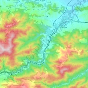
Name: Oued Djer topographic map, elevation, terrain.
Location: Oued Djer, Daïra El Affroun, Blida, Algérie (36.37529 2.47648 36.46939 2.59492)
Average elevation: 333 m
Minimum elevation: 90 m
Maximum elevation: 751 m
Other topographic maps
Click on a map to view its topography, its elevation and its terrain.