
La Gallega topographic map
Interactive map
Click on the map to display elevation.
About this map
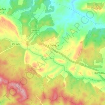
Name: La Gallega topographic map, elevation, terrain.
Location: La Gallega, Burgos, Castilla y León, España (41.86569 -3.28376 41.92397 -3.23140)
Average elevation: 1,097 m
Minimum elevation: 1,004 m
Maximum elevation: 1,214 m