
Sotzweiler topographic map
Interactive map
Click on the map to display elevation.
About this map
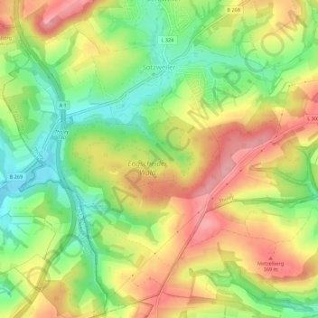
Name: Sotzweiler topographic map, elevation, terrain.
Location: Sotzweiler, Tholey, Landkreis St. Wendel, Saarland, Deutschland (49.43667 6.97157 49.47144 7.02677)
Average elevation: 313 m
Minimum elevation: 245 m
Maximum elevation: 384 m
Other topographic maps
Click on a map to view its topography, its elevation and its terrain.
Schaumberg
Deutschland > Saarland > Landkreis St. Wendel > Tholey
Schaumberg, Tholey, Landkreis St. Wendel, Saarland, 66636, Deutschland
Average elevation: 405 m