
Port of Beirut topographic map
Interactive map
Click on the map to display elevation.
About this map
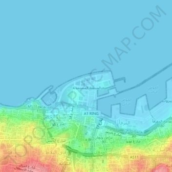
Name: Port of Beirut topographic map, elevation, terrain.
Location: Port of Beirut, Beirut, Beirut Governorate, Lebanon (33.89485 35.49356 33.91611 35.53311)
Average elevation: 17 m
Minimum elevation: -2 m
Maximum elevation: 105 m
Other topographic maps
Click on a map to view its topography, its elevation and its terrain.
Beirut
Lebanon > Beirut Governorate > Beirut
Beirut, Beirut Governorate, Lebanon
Average elevation: 19 m