
Álava topographic map
Interactive map
Click on the map to display elevation.
About this map
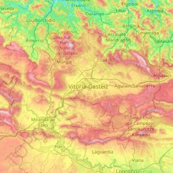
Name: Álava topographic map, elevation, terrain.
Location: Álava, Autonomous Community of the Basque Country, Spain (42.47134 -3.28701 43.21697 -2.23287)
Average elevation: 597 m
Minimum elevation: 43 m
Maximum elevation: 1,494 m
Other topographic maps
Click on a map to view its topography, its elevation and its terrain.