
Zelem topographic map
Interactive map
Click on the map to display elevation.
About this map
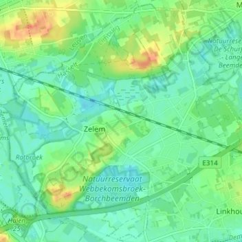
Name: Zelem topographic map, elevation, terrain.
Location: Zelem, Halen, Hasselt, Limburg, 3545, Belgium (50.96138 5.07877 50.99880 5.13938)
Average elevation: 25 m
Minimum elevation: 13 m
Maximum elevation: 51 m