
Kalken topographic map
Interactive map
Click on the map to display elevation.
About this map
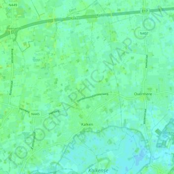
Name: Kalken topographic map, elevation, terrain.
Location: Kalken, Laarne, Dendermonde, Oost-Vlaanderen, België (51.02145 3.88292 51.07600 3.93826)
Average elevation: 4 m
Minimum elevation: -1 m
Maximum elevation: 9 m
Other topographic maps
Click on a map to view its topography, its elevation and its terrain.
Laarne
België > Oost-Vlaanderen > Dendermonde > Laarne
Laarne, Dendermonde, Oost-Vlaanderen, 9270, België
Average elevation: 5 m