
Poupehan topographic map
Interactive map
Click on the map to display elevation.
About this map
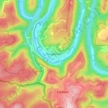
Name: Poupehan topographic map, elevation, terrain.
Location: Poupehan, Bouillon, Luxemburg, Wallonië, 6838, België (49.79156 4.98358 49.83156 5.02358)
Average elevation: 298 m
Minimum elevation: 188 m
Maximum elevation: 413 m