
Temple topographic map
Interactive map
Click on the map to display elevation.
About this map
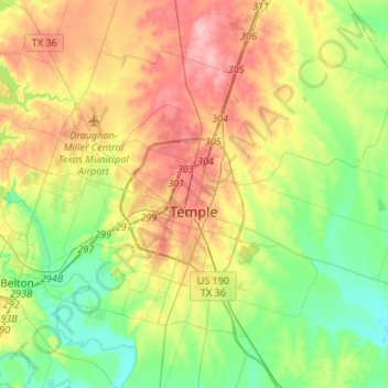
Name: Temple topographic map, elevation, terrain.
Location: Temple, Bell County, Texas, USA (31.03052 -97.47713 31.17741 -97.29674)
Average elevation: 191 m
Minimum elevation: 141 m
Maximum elevation: 250 m