
Walgett topographic map
Interactive map
Click on the map to display elevation.
About this map
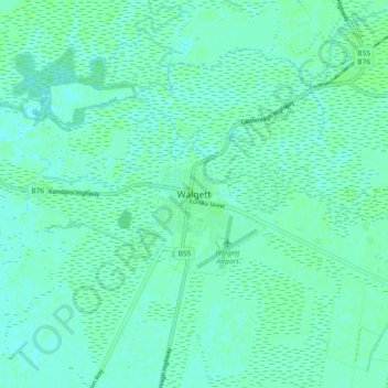
Name: Walgett topographic map, elevation, terrain.
Location: Walgett, Walgett Shire Council, New South Wales, Australia (-30.06222 148.07757 -29.98222 148.15757)
Average elevation: 133 m
Minimum elevation: 130 m
Maximum elevation: 136 m