
Serule topographic map
Interactive map
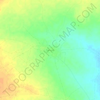
Click on the map to display elevation.
About this map
Name: Serule topographic map, elevation, terrain.
Location: Serule, Central District, Botswana (-22.37502 27.51813 -22.33502 27.55813)
Average elevation: 935 m
Minimum elevation: 919 m
Maximum elevation: 950 m
The population according to the 2001 census was 2,268 and it is estimated at more than 3000 in the latest 2011 census. The people of Serule Village comprises different ethnicities namely Bangwato, Bakwena, Batalaote, Bakalanga, Bahurutshe and its six wards are Mothoathubega, Borotsi, Mokwena, Botalaote, Basimaneng and Leupane. A 100 square km area around Serule has an approximate population of 1515 (0.000015 persons per square meter) and an average elevation of 993 meters above the sea.