
Kalgoorlie topographic map
Click on the map to display elevation.
About this map
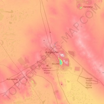
Name: Kalgoorlie topographic map, elevation, terrain.
Average elevation: 360 m
Minimum elevation: 184 m
Maximum elevation: 450 m
Other topographic maps
Click on a map to view its topography, its elevation and its terrain.
Purnululu National Park
The Bungle Bungle Range, lying fully within the park, has elevations as high as 578 metres (1,896 ft) above sea level. It is famous for the sandstone domes, unusual and visually striking with their striping in alternating orange and grey bands. The banding of the domes is due to differences in clay content and…
Average elevation: 277 m