
Kaghan topographic map
Interactive map
Click on the map to display elevation.
About this map
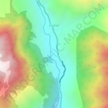
Name: Kaghan topographic map, elevation, terrain.
Location: Kaghan, Khyber Pakhtunkhwa, Pakistan (34.75367 73.52023 34.78879 73.53584)
Average elevation: 2,464 m
Minimum elevation: 1,917 m
Maximum elevation: 3,336 m