
Emscher-Auen topographic map
Interactive map
Click on the map to display elevation.
About this map
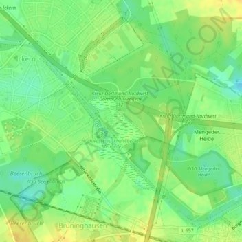
Name: Emscher-Auen topographic map, elevation, terrain.
Average elevation: 62 m
Minimum elevation: 49 m
Maximum elevation: 73 m
Other topographic maps
Click on a map to view its topography, its elevation and its terrain.
Castrop
Deutschland > Nordrhein-Westfalen > Kreis Recklinghausen > Castrop-Rauxel
Castrop, Castrop-Rauxel, Kreis Recklinghausen, Nordrhein-Westfalen, 44575, Deutschland
Average elevation: 79 m