
Llano de la Perdiz topographic map
Interactive map
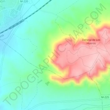
Click on the map to display elevation.
About this map
Name: Llano de la Perdiz topographic map, elevation, terrain.
Average elevation: 701 m
Minimum elevation: 637 m
Maximum elevation: 820 m
Other topographic maps
Click on a map to view its topography, its elevation and its terrain.
Los Hueros
España > Comunidad de Madrid > Villalbilla
Los Hueros, Villalbilla, Comunidad de Madrid, 28810, España
Average elevation: 666 m