
Black Hand Gorge State Nature Preserve topographic map
Interactive map
Click on the map to display elevation.
About this map
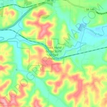
Name: Black Hand Gorge State Nature Preserve topographic map, elevation, terrain.
Average elevation: 273 m
Minimum elevation: 228 m
Maximum elevation: 342 m