
Taggerty topographic map
Interactive map
Click on the map to display elevation.
About this map
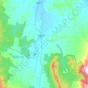
Name: Taggerty topographic map, elevation, terrain.
Location: Taggerty, Shire of Murrindindi, Hume, Victoria, Australia (-37.38907 145.63687 -37.27989 145.79916)
Average elevation: 345 m
Minimum elevation: 190 m
Maximum elevation: 1,092 m