
Luján topographic map
Interactive map
Click on the map to display elevation.
About this map
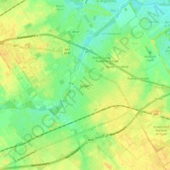
Name: Luján topographic map, elevation, terrain.
Location: Luján, Partido de Luján, Buenos Aires, 6700, Argentina (-34.60617 -59.15526 -34.52617 -59.07526)
Average elevation: 25 m
Minimum elevation: 11 m
Maximum elevation: 38 m
Other topographic maps
Click on a map to view its topography, its elevation and its terrain.
Aeropuerto Internacional Ezeiza
Argentina > Buenos Aires > Aeropuerto Internacional Ezeiza
Average elevation: 13 m