
Mezloug topographic map
Interactive map
Click on the map to display elevation.
About this map
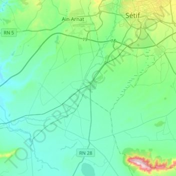
Name: Mezloug topographic map, elevation, terrain.
Location: Mezloug, Daïra Aïn Arnat, Sétif, 19130, Algérie (36.03869 5.17630 36.16641 5.43574)
Average elevation: 962 m
Minimum elevation: 865 m
Maximum elevation: 1,444 m