
Moretown topographic map
Interactive map
Click on the map to display elevation.
About this map
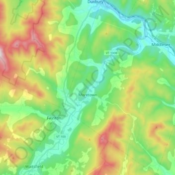
Name: Moretown topographic map, elevation, terrain.
Location: Moretown, Washington County, Vermont, 05660, United States (44.18527 -72.78947 44.32810 -72.63910)
Average elevation: 383 m
Minimum elevation: 124 m
Maximum elevation: 893 m