
Thank you for supporting this site ❤️
Make a donation
Make a donation
Thurmont topographic map
Click on the map to display elevation.
Thank you for supporting this site ❤️
Make a donation
Make a donation
About this map
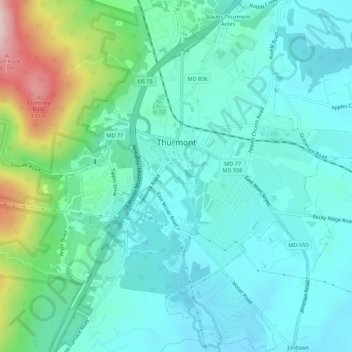
Name: Thurmont topographic map, elevation, terrain.
Location: Thurmont, Frederick County, Maryland, United States (39.59870 -77.42641 39.64051 -77.38316)
Average elevation: 182 m
Minimum elevation: 113 m
Maximum elevation: 438 m
Thank you for supporting this site ❤️
Make a donation
Make a donation