
Izhevsk topographic map
Interactive map
Click on the map to display elevation.
About this map
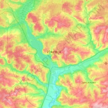
Name: Izhevsk topographic map, elevation, terrain.
Location: Izhevsk, Udmurtia, Volga Federal District, Russia (56.71641 53.00656 57.00476 53.39138)
Average elevation: 140 m
Minimum elevation: 84 m
Maximum elevation: 217 m