
Richford topographic map
Interactive map
Click on the map to display elevation.
About this map
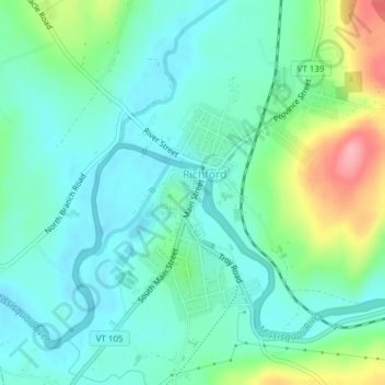
Name: Richford topographic map, elevation, terrain.
Location: Richford, Franklin County, Vermont, United States (44.98271 -72.68134 45.00780 -72.66347)
Average elevation: 157 m
Minimum elevation: 126 m
Maximum elevation: 245 m