
Draâ El-Kaïd topographic map
Interactive map
Click on the map to display elevation.
About this map
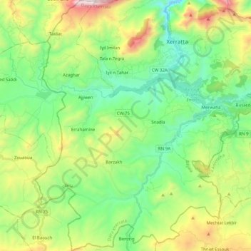
Name: Draâ El-Kaïd topographic map, elevation, terrain.
Location: Draâ El-Kaïd, Daïra Kherrata, Béjaïa, 06074, Algérie (36.36030 5.16476 36.51974 5.31192)
Average elevation: 832 m
Minimum elevation: 363 m
Maximum elevation: 1,850 m