
Thank you for supporting this site ❤️
Make a donation
Make a donation
Bukit Beruntung topographic map
Click on the map to display elevation.
Thank you for supporting this site ❤️
Make a donation
Make a donation
About this map
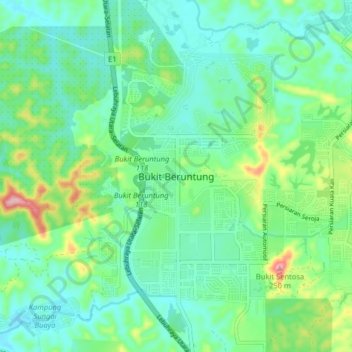
Name: Bukit Beruntung topographic map, elevation, terrain.
Location: Bukit Beruntung, Hulu Selangor, Selangor, 48300, Malaysia (3.38433 101.51671 3.46433 101.59671)
Average elevation: 56 m
Minimum elevation: 12 m
Maximum elevation: 183 m
Thank you for supporting this site ❤️
Make a donation
Make a donation